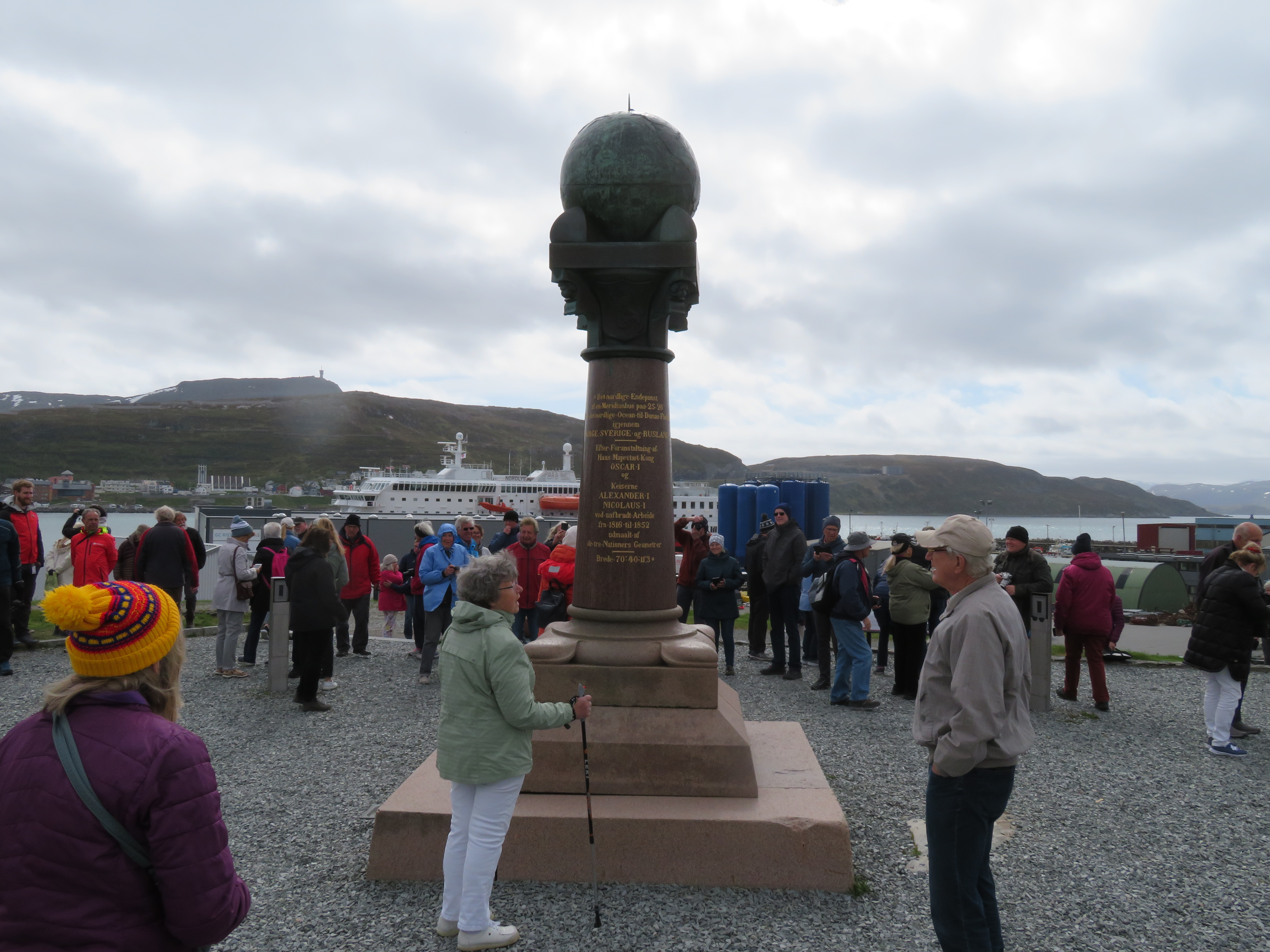
Care to take a guess at how scientists figured out the exact (more or less) shape of the earth in the 1800s? They used a chain of sorts. A total of 265 markers were placed on the route, more or less, creating triangles that helped make the math work through triangulation. The Struve Geodetic Arc was placed on a measure of longitude, more or less, and stretched for 1,750 miles - from the top of Norway to the Black Sea. Scientist Friedrich Georg Wilhelm von Struve worked on the math for about four decades, and figured out just how flat the earth was at the poles.
OK, I don't understand either. But it was a great example of scientific cooperation among nations, and it was a big step in Earth science and topography. Von Struve also settled some arguments that had been taking place for centuries. It's now a UNESCO World Heritage Site.
Luckily for us, someone has created a video to fill in some details.
No comments:
Post a Comment